
Buildings Map
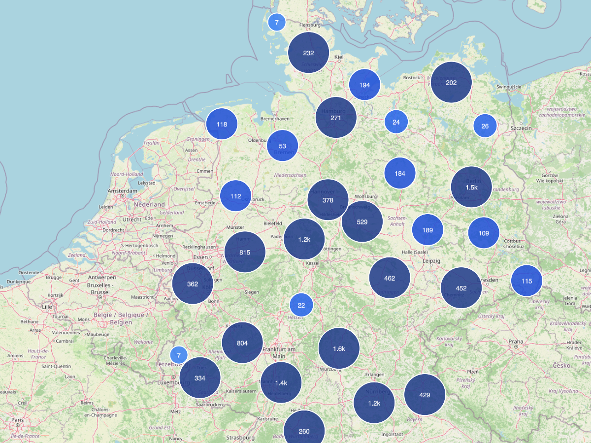
Map view of architecture photographs with Wikipedia links.
What is it?
The Buildings Map shows roughly 17,000 buildings from the photo holdings on an interactive map. Where possible each building is linked to its German Wikipedia article.
What you can see
- MapLibre-GL map with building points
- Photo references per building (index cards, folders)
- Direct links to the Wikipedia article and Wikidata coordinates
Usage hints
Zoom in and click points to open the related index cards. Filters by building type help find a specific architectural category.